In recent years, the intersection of technology and archaeology has unveiled hidden chapters of human history, with Google Earth at the forefront of this fascinating evolution. Google Earth Archaeology: How Satellites Reveal Ancient Ruins serves not only as a tool for navigation and exploration but as a revolutionary resource that enables archaeologists to discover and analyze ancient sites from the comfort of their screens. With the power of satellite imagery, researchers can interpret vast landscapes and identify potential archaeological locations with unprecedented ease. This article delves into how Google Earth transforms the field of archaeology, the techniques employed in leveraging satellite data, and prominent case studies that illuminate the technique’s potential while looking ahead at the future of archaeological research.

Key Takeaways
- Google Earth is revolutionizing archaeology by providing a new perspective on ancient ruins.
- Satellite imagery allows researchers to identify previously unknown archaeological sites from anywhere in the world.
- Case studies highlight significant discoveries, showcasing the effectiveness of Google Earth in locating ancient civilizations.
- Advanced technologies improve the clarity and detail of satellite images, enhancing archaeological investigations.
- The future of archaeology is increasingly tied to technological advancements, opening new possibilities for exploration and understanding.
Introduction to Google Earth and its Role in Archaeology
Google Earth has revolutionized the way archaeologists explore and study ancient sites from the comfort of their own homes. Utilizing high-resolution satellite imagery, Google Earth archaeology allows researchers to uncover hidden ruins, map historical landscapes, and identify potential excavation sites with unprecedented ease. By analyzing satellite data, archaeologists can detect anomalies in terrain and vegetation that hint at buried structures or artifacts, leading to significant discoveries without the need for extensive ground surveys. Furthermore, the platform provides a visual tool for documenting findings, facilitating communication among scholars, and sharing knowledge with the broader community. As a result, the role of Google Earth in archaeology is not only transformative but essential for advancing our understanding of past civilizations.
How Satellite Imagery is Used to Discover Ancient Sites
In recent years, Google Earth archaeology has transformed the way researchers and enthusiasts alike discover ancient ruins across the globe. Utilizing advanced satellite imagery, archaeologists can now survey vast areas without ever leaving their desks. Satellite technology has proven invaluable for uncovering potential archaeological sites, allowing experts to analyze land forms, vegetation anomalies, and soil discoloration that may indicate human activity beneath the surface. For instance, in remote areas where access is limited, these images can highlight structures like ancient roads, towns, and even burial sites, which would otherwise remain hidden. By leveraging tools like Google Earth, archaeologists are able to pinpoint locations for further exploration, minimizing excavation costs and maximizing research efficiency. As a result, Google Earth archaeology is not just a groundbreaking method; it is a powerful resource that enhances our understanding of human history and the many civilizations that shaped the world we know today.
‘The more that you read, the more things you will know. The more that you learn, the more places you’ll go.’ – Dr. Seuss
Case Studies: Significant Archaeological Discoveries via Google Earth
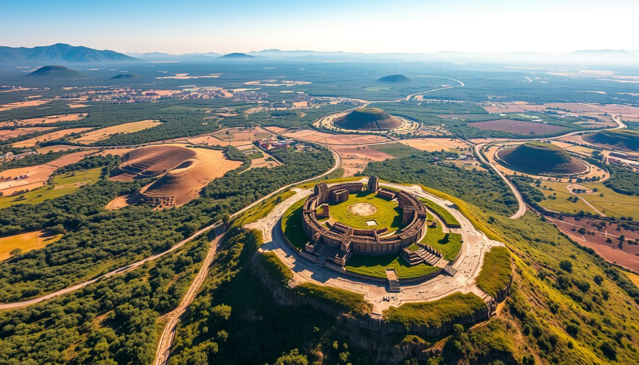
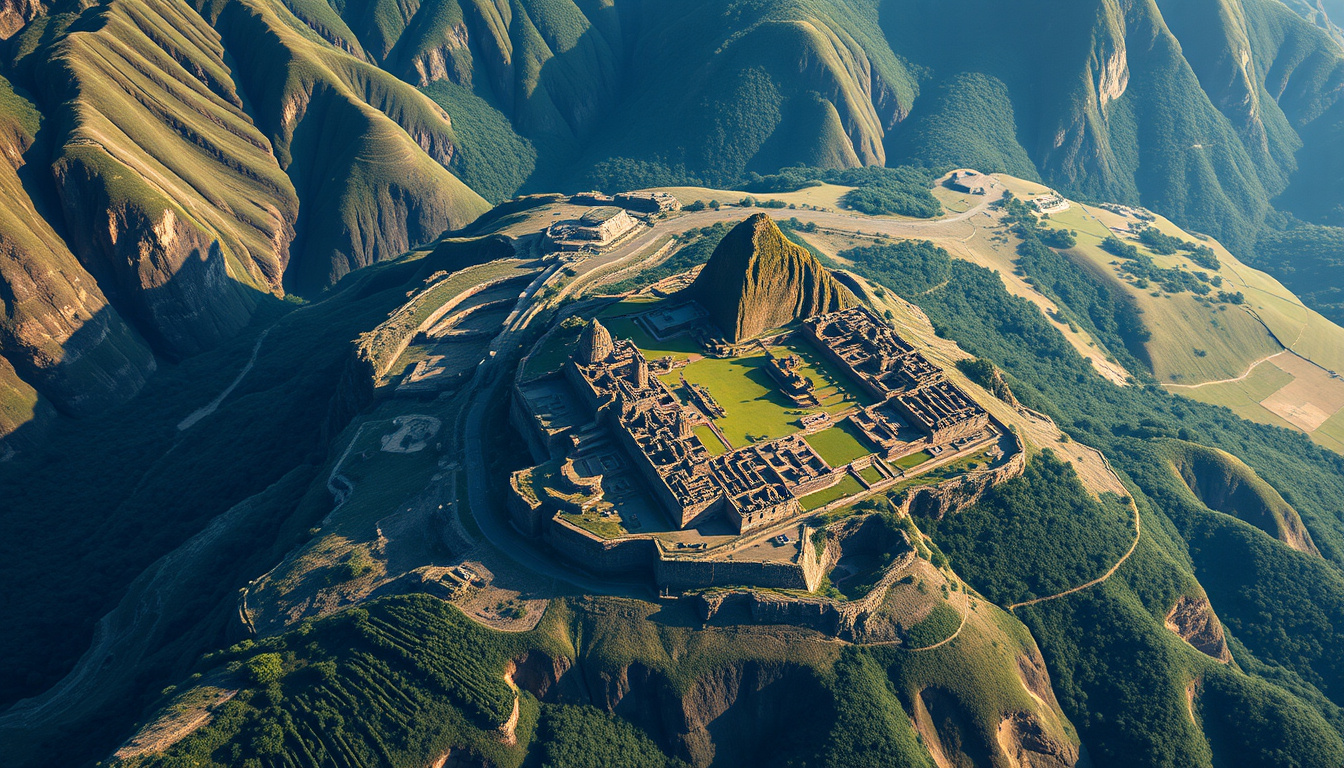
In recent years, the integration of technology in archaeology has opened up unprecedented avenues for exploration and discovery. One of the most fascinating advancements is the use of Google Earth in archaeology, which allows researchers and enthusiasts alike to uncover ancient ruins that might otherwise remain hidden from sight. Notable case studies illustrate how Google Earth archaeology has transformed the way we perceive historical landscapes. For instance, in Cambodia, researchers were able to locate an extensive network of ancient structures in the vicinity of Angkor Wat, including irrigation systems and temples, simply by analyzing satellite images. Similarly, in Peru, the identification of over 60 ancient geoglyphs in the Nazca Desert has shed light on the enigmatic cultures that once thrived there, all thanks to the detailed satellite mapping available through Google Earth. These discoveries underscore the profound impact of this tool in revealing sites of significant archaeological importance that were previously obscured by dense vegetation, urban sprawl, or geographic challenges. As more archaeologists adopt innovative methods utilizing Google Earth, the potential to unveil secrets of our past continues to expand, illustrating that the combination of modern technology and traditional fieldwork is paving the way for groundbreaking discoveries.
The Technology Behind Satellite Imagery and Archaeological Research
The advent of satellite imagery has revolutionized many fields, including archaeology, where Google Earth archaeology stands out as a groundbreaking tool. Leveraging high-resolution images captured from space, researchers can now identify potential archaeological sites that might be overlooked during traditional ground surveys. The technology behind satellite imagery utilizes advanced sensors capable of capturing various wavelengths of light, allowing archaeologists to detect subtle changes in the earth’s surface indicative of ancient structures or landscapes. By employing techniques like remote sensing and aerial photography, satellites facilitate a comprehensive analysis of vast geographic areas, significantly enhancing the efficiency of archaeological research. This innovative approach not only helps in prioritizing excavation sites but also aids in the preservation of historical artifacts by providing insights into their context within the broader landscape. Consequently, Google Earth archaeology symbolizes a fusion of cutting-edge technology and ancient history, inviting both professionals and enthusiasts alike to explore how satellites reveal ancient ruins and transform our understanding of human civilization.

Future Prospects: The Evolving Role of Technology in Archaeology
As we look to the future, the role of technology in archaeology continues to evolve, with innovative tools transforming our understanding of ancient civilizations. One fascinating advancement is Google Earth archaeology, a method that utilizes satellite imagery to uncover hidden landscapes and archaeological sites that remain obscured by vegetation or are otherwise inaccessible. This approach allows archaeologists to visualize vast areas from above, identifying structures like ancient roads, settlements, and even monumental constructions that shaped historical narratives. By harnessing the power of high-resolution satellite images, researchers can not only pinpoint locations for excavation but also assess the extent of human impact on the environment over centuries. The integration of such technology signifies a remarkable shift in archaeological practices, making it more efficient to preserve history and unearth the secrets of our ancestors. As we continue to adopt and refine these techniques, the potential for discoveries in the realm of Google Earth archaeology only grows, promising to deepen our connection with the past.
Frequently Asked Questions
What is Google Earth Archaeology?
Google Earth Archaeology refers to the use of satellite imagery and technology provided by platforms like Google Earth to identify and study ancient ruins and archaeological sites that may not be easily accessible or visible from the ground.
How does satellite imagery help in discovering archaeological sites?
Satellite imagery allows researchers to analyze landscape features, changes in vegetation, and soil patterns from above, enabling them to identify potential locations of ancient structures or settlements without requiring extensive ground surveys.
Can you provide examples of significant archaeological discoveries made using Google Earth?
Yes! Notable discoveries include the identification of ancient Mayan structures in Central America and the detection of previously unknown Roman ruins across Europe, all facilitated by satellite imagery.
What technology is used in satellite imagery for archaeological research?
Satellite imagery technology includes high-resolution imaging satellites equipped with various sensors that can capture detailed images of the Earth’s surface, infrared imaging to detect crop markings, and terrain mapping systems to provide topographical data.
What is the future of technology in archaeology?
The future of technology in archaeology looks promising, with advancements in AI and machine learning expected to enhance the analysis of satellite imagery, improve site detection, and integrate additional data sources for a more comprehensive understanding of ancient civilizations.